GTU to Study Groundwater in the Alazani Basin as Part of an International IAEA Project
“Researchers from the Georgian Technical University are participating in a Coordinated Research Project under the International Atomic Energy Agency (IAEA), a significant opportunity to deepen international scientific collaboration and develop modern research approaches. One key outcome of this research will be a “digital twin” prototype for the Alazani Basin. A “digital twin” is more than a map or a three-dimensional representation of an area; it is an integrated digital environment that combines data, mathematical models of physical processes, and artificial intelligence methods, enabling researchers to conduct complex analyses of groundwater-related processes and model various scenarios. Specifically, it will be possible to examine the potential impact of changes in precipitation patterns, temperature, and studying the potential impact of land-use changes on the groundwater recharge process. The project combines expertise accumulated at Georgian Technical University in hydrology, engineering, geoinformation systems, and computer modeling with the knowledge and long-term observational data in isotope hydrology and hydrogeology held by the Mikheil Nodia Institute of Geophysics at Tbilisi State University. Such interdisciplinary collaboration lays the foundation for integrating diverse scientific methods and more comprehensively studying groundwater dynamics. The project’s significance lies not only in its use of modern technologies but also in integrating knowledge and methodologies from various scientific fields into a unified research framework. This approach facilitates a complex understanding of natural processes and establishes a scientific basis for further refining decision-making related to water resource management,” stated Academician David Gurgenidze, Rector of the Georgian Technical University, in his assessment of the researchers’ success within the IAEA project.
A research group from the Georgian Technical University is participating in a Coordinated Research Project under the International Atomic Energy Agency (IAEA) to study groundwater in the Alazani Basin. The research will integrate several modern scientific fields, including isotope hydrology, geoinformation analysis, physical modeling, and responsible artificial intelligence. These approaches will enable the study of the Alazani Basin’s groundwater and support a comprehensive analysis of the relevant data.
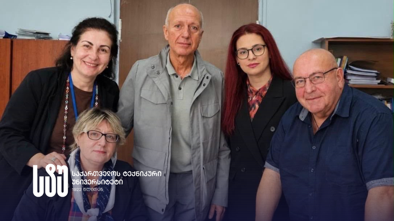
The research is led by Irma Inashvili, a professor at the Faculty of Construction and the project’s Chief Scientific Investigator (CSI); Nino Kapanadze, a researcher at the Mikheil Nodia Institute of Geophysics (Ivane Javakhishvili Tbilisi State University) and the project’s Secondary Chief Scientific Investigator (Secondary CSI); Konstantine Bziava, an associate professor at the Faculty of Construction; Professor Zaal Tsinadze; and Elene Chikviladze, a researcher at the Mikheil Nodia Institute of Geophysics (TSU) and a junior specialist at the Faculty of Mining Geology.
According to Irma Inashvili, a professor at the Faculty of Construction at the Georgian Technical University, the Alazani Basin is a significant agricultural region in Georgia, where water resources are vital to both the environment and economic activity. She further notes that, given the complex terrain, geological structure, and seasonal precipitation distribution, it is not always straightforward to determine where and when aquifers recharge, how river waters interact with the groundwater system, and how climatic variability affects groundwater reserves.
“Traditional hydrological observations provide only a partial picture of where water originates and how it moves. Isotopic methods, however, offer independent evidence of the water’s origin, the altitudinal zone of recharge, its seasonality, and its circulation. The goal of this research is to integrate these data with spatial analysis and hydrological models to assess groundwater recharge in the Alazani Basin, as well as its vulnerability to natural or anthropogenic impacts.”
– Professor Irma Inashvili
According to Professor Konstantine Bziava – who works on the engineering assessment of groundwater vulnerability, the analysis of recharge processes, and the development of hydrological scenarios for practical application, the researchers will, in the first phase of the project, consolidate years of accumulated isotopic, hydrochemical, and hydrogeological observational data into a unified spatio-temporal database:
“Both modern digital information and historical archival materials need to be processed. Using Geographic Information Systems (GIS), we will supplement these with digital terrain models, geological and soil data, land-use maps, climatic indicators, and satellite observations. We will check all data for quality, accuracy, and compatibility.”
– Professor Konstantine Bziava
According to Professor Zaal Tsinadze, who works on developing digital twin architecture and prototypes, as well as integrating and visualizing results from GIS and computational models, the second line of research involves refining an isotope-based hydrological conceptual model.
“Scientists will collectively analyze stable isotopes, tritium, radon, and hydrochemical indicators. The work will build on existing research in the Alazani Basin, including the JAMS/J2000 hydrological model, which has been enriched with isotopic data. This will improve understanding of water movement from mountainous zones to groundwater aquifers, recharge seasonality, and connections to the river.”
– Professor Zaal Tsinadze
An international research project at the Georgian Technical University – titled “From Isotope Hydrology to a Digital Twin: Responsible Artificial Intelligence for Groundwater Recharge and Vulnerability Assessment in the Alazani Basin” – is being carried out within the framework of an IAEA Coordinated Research Project; it is a four-year initiative set to conclude in 2030.
Related
Scientific
Public Lectures by Georgian and International Young Researchers at GTU
Young researchers – Georgian and international doctoral candidates – delivered public lectures to students at the Georgian Technical University, organized...
Scientific
UNI4VERSE FINEDU – Innovative Competition for Students Has Begun
For Students of Georgian Technical University At the initiative of the Georgia’s Innovation and Technology Agency (GITA), the university competition...
Scientific
Modern Scientific Center for Materials Research at GTU
“Creating a modern research infrastructure is one of the key priorities of the Georgian Technical University. The Materials Research Center...
Scientific
July 23 is the day of the first Georgian space object
27 years ago, on July 23, 1999, for the first time in the history of independent Georgia, the Georgian scientific...
News
GTU Doctoral Student Roman Tsertsvadze to Deliver a Lecture Course at a Leading Engineering University in France
Roman Tsertsvadze, a doctoral student at the Faculty of Informatics and Control Systems of the Georgian Technical University, will deliver...
News
New Renewable Energy Laboratory Opens at GTU
A Renewable Energy Training Laboratory has been opened at the Faculty of Power Engineering of the Georgian Technical University within...